
Can Drones Help Save the Planet? Environmental Data from Drones are Accurate, Quick, and Repeatable
The drones are coming! The drones are coming! It can seem like the beginning of an Asimov science fiction story, but I promise they’re not out to hurt you! At least not yet... :)
The past five years have seen exponential growth in the drone industry. (1) Drone pilots across the world are using their skills to do a number of obvious and not-so-obvious tasks, including real estate photography, infrastructure inspections, agricultural applications, construction mapping and measurement, and finding missing children.
This growth has been slower to reach the environmental sector, but it is picking up speed at an exciting rate.
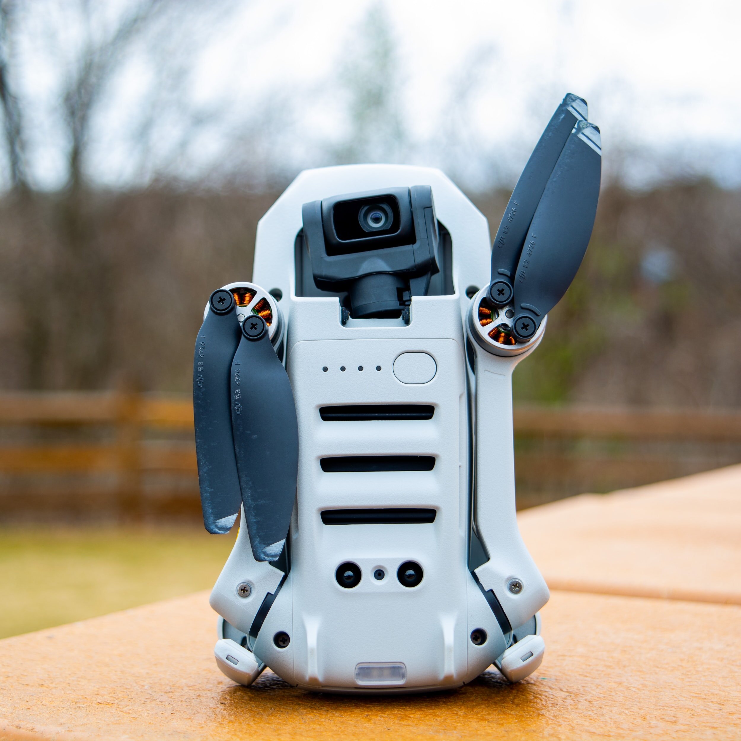
This is a DJI Mavic Mini, looking all kind and friendly. See? Nothing to worry about!
(c) Unsplash
Advantages of Incorporating Drones
In the late aughts, I studied remote sensing, which is the fascinating discipline of using data from 2,000 feet and higher above the Earth’s surface to assess and compare conditions on the ground. My master’s project in that program combined airplane-collected LIDAR data with Landsat satellite data to assess changes in wetland areas in coastal Maryland. (2) While Landsat data are free, their spatial resolution only allowed for about 1.5-meter accuracy. LIDAR data were much more accurate (10 cm), but collecting LIDAR data by plane was remarkably expensive. It was a luxury — and took several academic grants — to collect LIDAR data for analysis. And, as any good scientist will tell you, your accuracy is limited by your least accurate input.
Today, anyone with $500 and an FAA remote pilot certificate can fly their own satellite over a parcel of land as often as they’d like to do so, and their data can be remarkably accurate. The advantages of using drones to monitor environmental conditions are remarkable. Among them:
Drones can access challenging terrain or dangerous areas without the same risks to human staff.
They can fly programmed missions, which make their data collection activities repeatable.
They reduce data collection time and improve its accuracy. Flight time is fast. Although it does not supplant professional survey data, you can collect accurate mapping data for an acre in less than 30 minutes.
They can collect multiple data types on a single flight, depending on the drone and the sensors. This allows for the precise geolocation of multiple data points.
When combined with ground control points, mapping accuracy can close in on 2 cm or less. (TWO CENTIMETERS OR LESS! Yes, I’m yelling. It’s very exciting!)
Examples of Drone Data in the Environmental Sector
Environmental nonprofits and state governments have been at the forefront of developing uses for drones in conservation and land protection, ecosystem restoration, clean-up projects, and environmental justice projects. For example:
The Upper Potomac Riverkeeper, Brent Walls, was an early adopter and experimenter in using drones to monitor his river. Brent has identified mine discharges, monitored connections to a Superfund site, and investigated algal blooms along the waterway. His drone footage has encouraged companies to improve their environmental practices and was even used to develop an intent to sue in one case. Most recently, Brent’s drone footage led to a now-closed paper mill agreeing to a clean-up, pay $650,000 in fines to the State of Maryland, and pay $50,000 to the Potomac Riverkeeper Network.
Many states have developed government drone projects; they train their own pilots, maintain their own drone fleets, and use the data they collect to operate their inspection and conservation programs more efficiently.
Michigan’s Department of Environment, Great Lakes, and Energy adapted its already robust drone program to monitor for radiation. A task that would place human inspectors at risk is turned over to aerial drones that can access difficult or otherwise risky areas to collect accurate data on radiation signals.
Many states have begun mapping and observing storm damage using drones. In post-disaster scenarios, drones can access areas that may be dangerous or inaccessible to humans, bringing back high-quality information quickly.
Even the private sector is pressing science forward for our benefit.
Karen Joyce founded GeoNadir to compile drone imagery worldwide to protect at-risk ecosystems. She is creating a network of drone data collectors and providing a cloud storage platform for global drone imagery. She frequently focuses on coral reef imagery in Australia, providing valuable scientific data, but also astounding imagery from her own drone flights.
Ellipsis Earth is harnessing the power of imagery algorithms to identify shoreline plastic pollution. Their algorithm can distinguish plastic debris from other types of debris and then categorize it by type: fishing net, bottle cap, toothbrush. They then publicize this information via several channels.
Getting started
Are you convinced yet? If you’re thinking of starting your own drone program, you need four things to get going:
You need a pilot. The FAA provides remote pilot certificates to those who pass a written test under Part 107 of the Federal Code of Regulations. The regulations for legally flying a drone in the U.S. are not simple. You need to understand and obey federal airspace regulations well to avoid accidentally endangering passenger airplanes and the hefty fines that go along with running afoul of the regs.
Your pilot also needs to know how to fly. :) Most modern drones have a bevy of collision avoidance and other safety built-in fail-safes, but when these fail or if the drone gets itself into trouble in another way, the pilot must have the flight skills required to return the drone by hand. The FAA test will cost you about $175.

This is a DJI Phantom. It is a workhorse of a drone and can carry several different sensors. It’s still friendly, though!
(c) Unsplash
2. You need a good drone. You can purchase a drone that will allow you to do basic mapping or photography for $500 or less. But if you would like to incorporate thermal imaging, LIDAR, or other techniques into your program, you will need to budget more like $5000 to $10,000 for equipment that will include those sensors. You generally need to register the drone with the FAA as well, but this will only set you back $5.
3. You need good flight plans. This means that you’ll need up-to-date information on permissions required from the FAA, and courtesy permissions from property owners who may be curious (or mad!) about your flight. I like to knock on doors and explain what I’ll be doing so that people can get interested and excited instead of anxious and suspicious. You’ll also need to make sure that you have taken into account weather conditions and whether seasonality plays a role in your data collection plans.
4. You need an analytical process. Software for processing drone data is improving every day. There are a few cloud-based analytical packages that will do wonders with your raw drone data. I have used both DroneDeploy and Pix4D, and have found both to be reliable and user-friendly. A subscription to one of these packages will cost you $1500 - $2500 per year, depending on the options you select and the analyses you need to run. You can also cobble together a free option if you are familiar with running R scripts! You also need a person who can understand the outputs and incorporate them into your analysis and monitoring programs. It is relatively simple to import drone data into a mapping program, and I believe this is the best way to make the data work hard for your cause.
So, for image collection, you can start a program for less than $700. This figure stands for mapping if you are an R-whiz who can navigate writing a bit of code. To collect more types of data (thermal, LIDAR), or to develop a state-of-the-art program, you are still looking at $10,000 to $20,000 for a first-year cost. At this price, you will be able to collect remarkable data for years to come.
Asimov would have found it entertaining to see us using robot drones to help us save the planet. He’d say the next logical step is for the drones to realize that we humans are really the biggest problem… That said if you’d like to risk it and chat more about using drones to collect meaningful program data, let me know!

(1) Drones are frequently referred to as “Unmanned Aerial Vehicles,” or UAVs, and a great discussion is ongoing in the drone community about how to un-gender the term "un-manned." I’m choosing to use the term “drone” because it is simpler than explaining that my own version of “UAV” stands for “Unpersoned Aerial Vehicle!” To read more on this discussion, see the editorial, “Of Course We Fly Unmanned—We’re Women!” by some of my favorite remote pilots to watch: Joyce, Karen E; Anderson, Karen; Bartolo, Renee E. Drones; Basel Vol. 5, Iss. 1, (2021): 21. DOI:10.3390/drones5010021.
(2) LIDAR stands for light detection and ranging, and the way to think about it is that LIDAR provides very accurate position data for elevations. It can also see through water, so it provides accurate profiles of the bottoms of waterbodies. Landsat collects a number of different types of data, but the easy way to think about it is that Landsat imagery typically looks a lot like imagery from Google Earth (and sometimes it IS the image used on Google Earth).
Copyright © GeoLiteracy, LLC, 2021, All rights reserved.